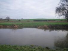
Location: The River Rother below Rotherbridge on the Leconfield Estate in West Sussex
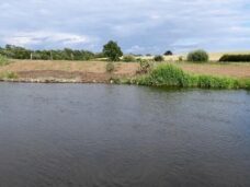
Issue: Historical modification for navigation and decades of maintenance dredging in the 20th century has meant the top of the bank is much higher than the flood plain, resulting in excessive erosion pressure on soft sandy banks during high flows
Objective: During high flows, allow the river to spill out of bank much earlier in order to reduce in-channel flow velocities, reduce pressure on the soft bank and promote more stable habitat for fish, invertebrates and plants. During low flows, increase velocities across the gravel bed by narrowing the river to benefit flow loving and gravel spawning fish species such as trout.
The plan is to use this project as a demonstration site for further flood plain connection projects on the Western Rother, significantly contributing towards improved natural flood defences for the lower river.
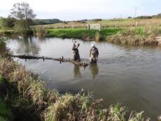
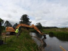
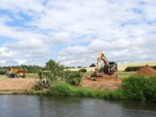
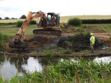
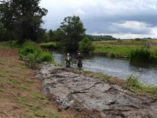
Method: A site was selected where the bank top was already slightly lower. This section of bank was excavated with a digger to create a low-level swale for the river to re-connect with the flood plain. The spoil won from the operation was used to back-fill a new bank line behind hazel faggot revetment.
Budget: £5000 courtesy of the Sussex Lund Trust
WTT role: Lead partner, project design and delivery.
Partners: South Downs National Parks Authority and The Leconfield Estates
Project date and duration: Completed in July 2020 (5 days)
